Body
(Re)colonizing Tradition
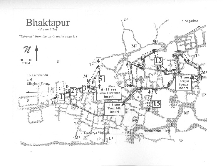
A Pedestrian Guide to a "Traditional" City
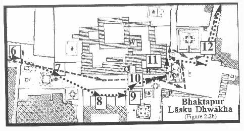
Welcome to Bhaktapur
[1] The Tea Stall at Guhepukhu
[2] Nava Durga Chitra Mandir
[3] Khauma Square
[4] Tourist Motor Park
[5] Indrani Pitha
[6]Lasku Dhwakha Gate
[7]Char Dham
[8]Cafe de Temple
[9]Batsala Temple
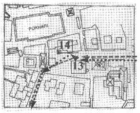
[10] Batsala Temple
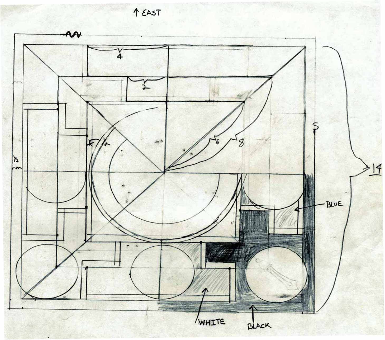
[11] City Hall
[12] The Procession Route
[13] Pujari Math
[14] The Peacock Restaurant
[15] Sewage Collection Ponds
[16] Bhairavanath Temple
|
Social Maps: Narrative-generative Aspect of Maps
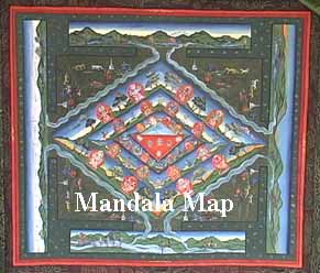 By concentrating on the narrative-generative rather than representative quality of maps, I use them as a heuristic device to interpret spatial fields of knowledge and practice attributed to the modes of operating in the lived reality. Each map has specific effects of power and obeys its own logical modes of functioning. Accordingly, while wanting to keep the notion of "map" tied to the description of space, by social map I mean to sketch out not abstract space, but the local logics that author particular temporalities. As such, each map refers to a different mode of territorial unity, of socioeconomic distribution, and of political conflicts and identifying symbolism. In other words, I am not using the notion of maps as objective scientific representations of space, but as models to understand how people constitute "places." By concentrating on the narrative-generative rather than representative quality of maps, I use them as a heuristic device to interpret spatial fields of knowledge and practice attributed to the modes of operating in the lived reality. Each map has specific effects of power and obeys its own logical modes of functioning. Accordingly, while wanting to keep the notion of "map" tied to the description of space, by social map I mean to sketch out not abstract space, but the local logics that author particular temporalities. As such, each map refers to a different mode of territorial unity, of socioeconomic distribution, and of political conflicts and identifying symbolism. In other words, I am not using the notion of maps as objective scientific representations of space, but as models to understand how people constitute "places."
  
|
Maps
Mandala Map
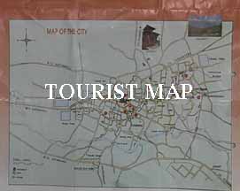
Tourist Map
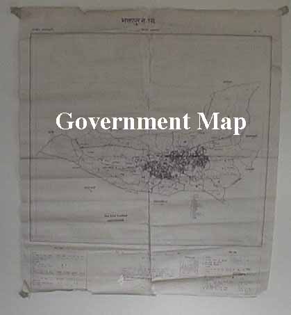
Government
Map
Pedestrian
Tour Map
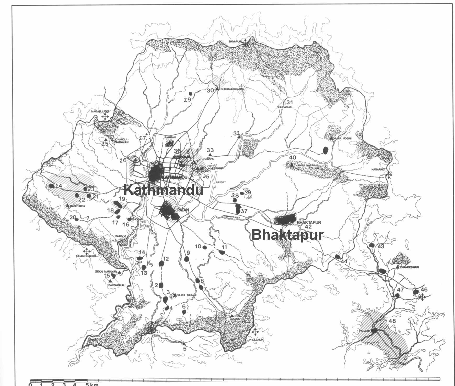
Bhaktapur
Durbar Square
Tacapa Map
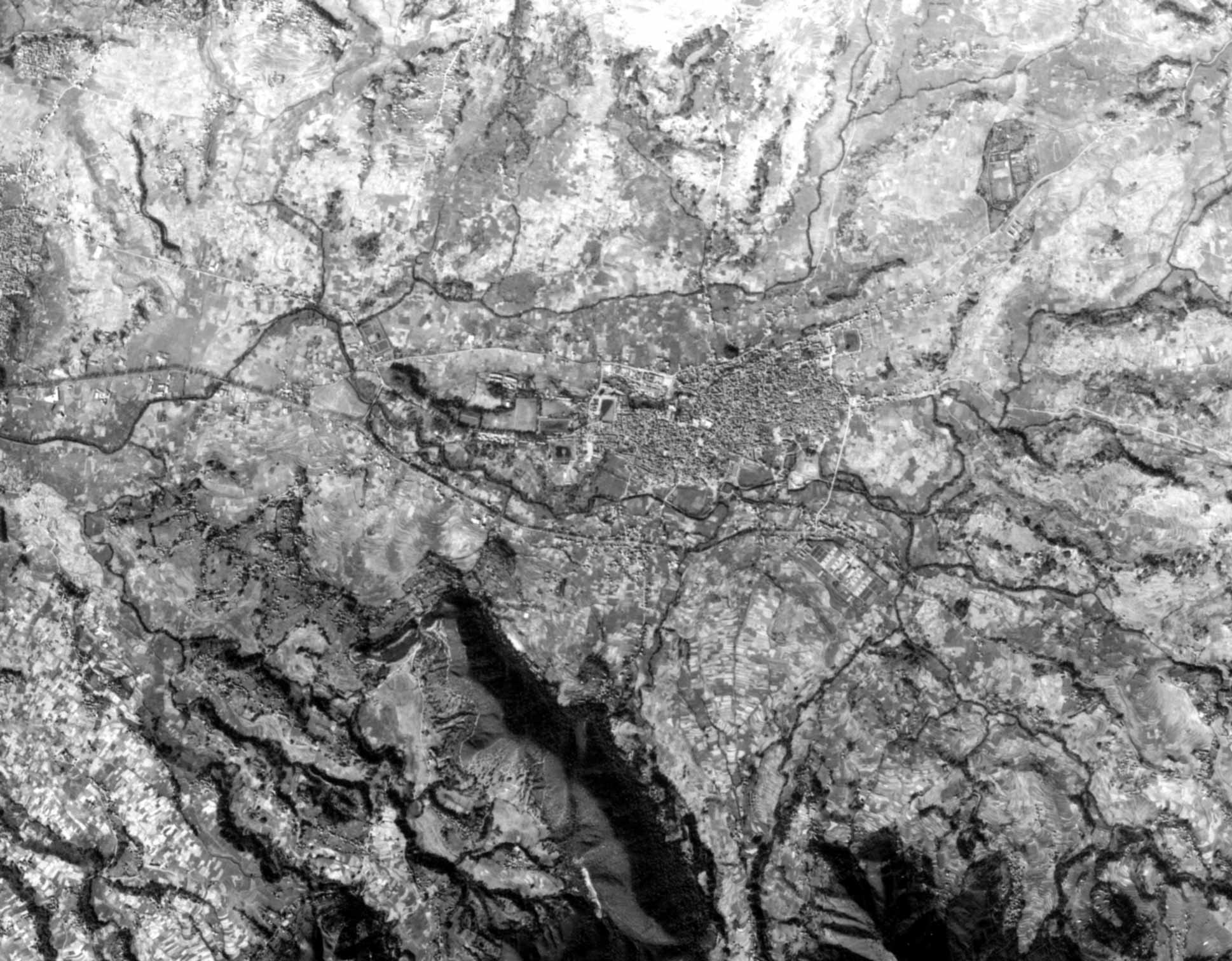
Satellite
Photograph
Kathmandu
Valley
Goddesses
|